
Why does Wayne always flood whenever there is a storm? The short answer: the town’s founders ignored flood plains. Don’t worry, the long answer is more interesting.
As a newly-founded town with few main roads, the developers had a sensible idea: build along one of the main roads. Wayne was developed along Newark-Pompton Turnpike, which is the predecessor to Route 23 in the area. Historic Wayne lies in four present-day areas, as the rest of the town was farmland and forest. These four are Packanack Lake, Pines Lake, Old Wayne, and Mountain View.
The latter two–Old Wayne and Mountain View–were built along Newark-Pompton Turnpike with the purpose of being a main road. In addition, the Erie Railroad ran through the area with stations in Mountain View on Erie Ave and Old Wayne on Ryerson Ave. What developers forgot to take into consideration was that they were building alongside low-banked rivers in their historic floodplains.
When construction began in the 1930s on Old Wayne, developers intended for the neighborhood to be a grid, shown by Sanborn Fire Insurance images from the time period. Developers cleared forest and marked the blocks by tilling the dirt. However, the grid was never entirely completed.
As Wayne continued to develop around these areas, more homes were built near rivers in floodplains. Some of these roads include Edith Court and Winding Way, directly adjacent to the Packanack Brook. Following Hurricane Irene, homes along both roads were bought out by the township and demolished due to extensive, dangerous flooding. This area is especially intriguing because its flooding could have been much less when these homes were being built. Directly downstream from these two roads was Adams Lake, a manmade lake that could have curbed flooding in the area upstream. Adams Lake was not removed until after construction of the two roads had been completed, placing water back into the floodplain. The former site of Adams Lake is Mother’s Park and Ride on the north-bound side of Route 23, as the lake was filled in to build it.
The construction of Old Wayne’s grid seems to have halted during the 1940s, but much had already been completed. The streets were developed and homes were built in a floodplain. It was only a matter of time before disaster struck. And eventually, it did.
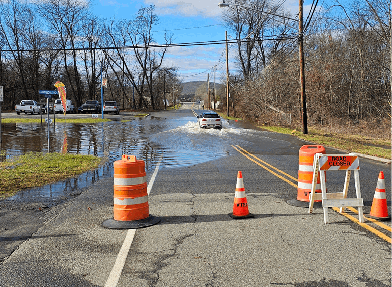
Extreme flooding was recorded in the years of 1968, 1971, 1972, 1973, 1975, 1984, 1992, 1999, 2005, 2007, 2010 and 2011, greatly impacting the surrounding areas.
“What could be the solution to this problem?” one may ask. There are two major solutions in play. Currently, Wayne and the government have been buying out properties in high risk areas. Wayne has purchased 346 homes (as of September 2023) in areas such as Hoffman Grove, the New York Ave neighborhood, and other low-lying locations.
The other one is a proposed diversion tunnel of the Passaic River and its tributaries (Pompton River) that would divert a portion of the water when there is an extreme storm to Newark Bay. This plan is, however, extremely costly and unlikely to happen.